COVID-19 Spread Predictor
Abstract
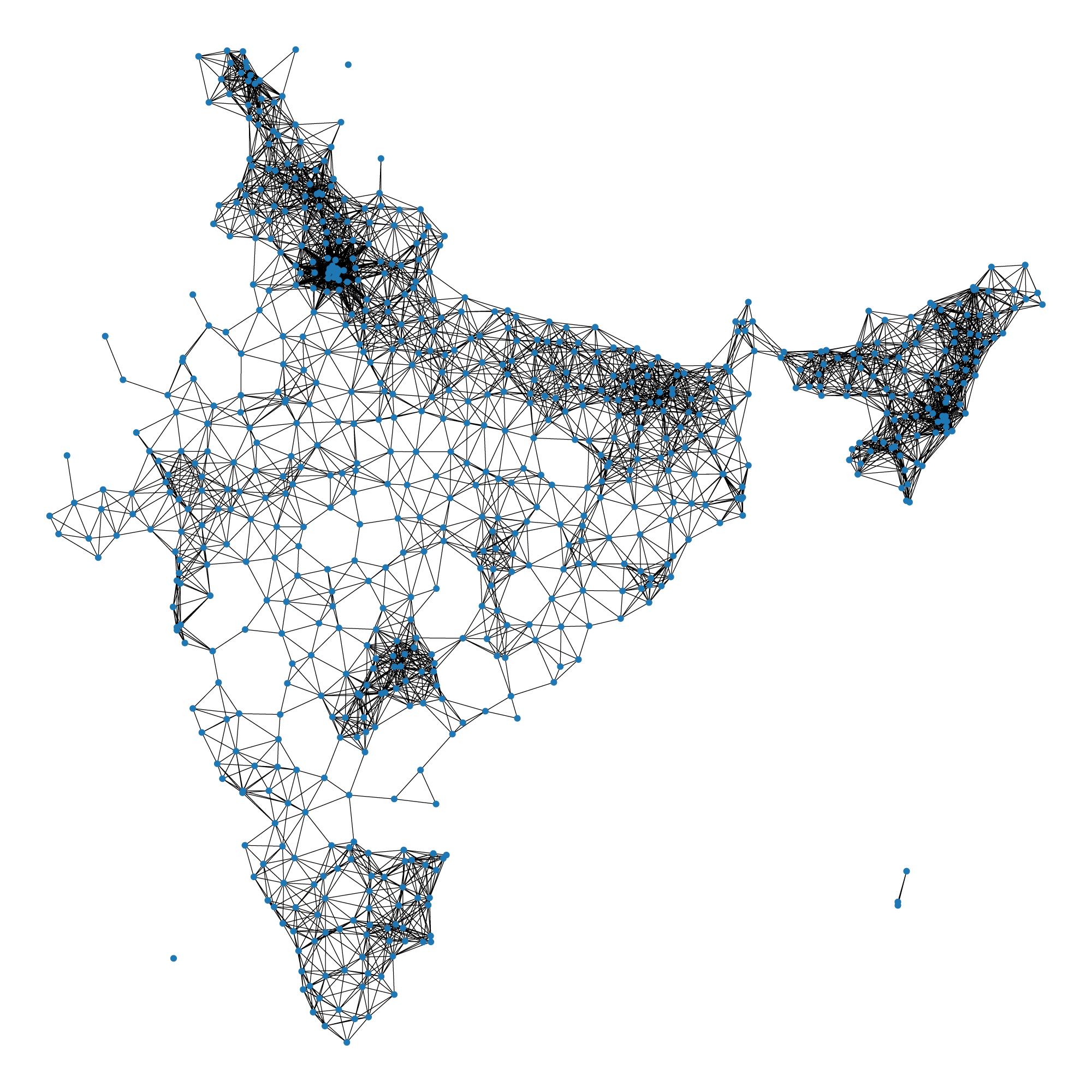
This paper proposes a system to model the spread of COVID-19. This system will work in post lockdown conditions, when the only method of travel, is by road. It defines impact measures, that state the severity of the potential disease spread, in a specific area. These impact measures are calculated based on predicted hotspots, using a graph clustering algorithm. Using this method, more lenient measures may be taken, in areas less prone to the virus spread. There do exist other methodologies to model the spread of viruses, but most overlook the spatial nature of the viruses. The proposed system focuses on this limitation. Specifically, it focuses on preventing the virus spread, from a geographical point of view. Since the virus spread depends entirely on contact, regions near existing hotspots may potentially become new hotspots. The country is first visualized as a weighted graph of regions. The weights of the nodes are the number of active cases, and the edge weights are the geodesics between those nodes. This graph is connected based on a distance threshold. The nodes are the administrative level, and the impact measure tells the possible transmission between separate regions. Using this data, potential hotspots are easily identified. This data will help administrative bodies, to make more fine-tuned lockdown restrictions, based on the impact measures.
Behera, V.N.J., Ranjan, A. and Reza, M., 2020. Graph based Clustering Algorithm for Social Community Transmission Prediction of COVID-19. arXiv preprint arXiv:2011.00414.